

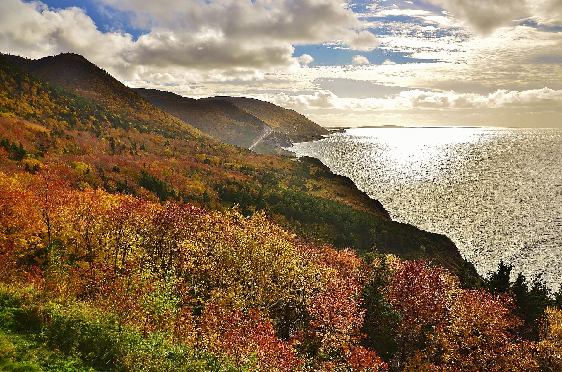
Photo: Eric Van Lochem, CC BY-SA 4.0
Cabot Trail
- Distance
- 294 km
- Driving
- 4 h 12
- Stops
- 12
- Suggested days
- 3
- Type
- Loop · By car
Loop starting from Baddeck
Regions crossed: Cape Breton
Nature and viewsSportsWinter fun
A coastal loop around the Cape Breton highlands: cliffs over the Atlantic and the Gulf of St. Lawrence, Acadian and Gaelic villages, and trails in Cape Breton Highlands National Park.
Best time: June to October, with fall colours in late September and early October. Some services close after Thanksgiving.
- Start (A) and finish (B)
- Circuit stop, in order
- Place near the route (category icon): click to see it
- The route
- Area of nearby places
All the places around the route (1,217)
Tick the ones you want to add to your trip.
Loading places along the route…
Travellers’ versions
Trips built from this route and shared by the community: their stops, days and ideas.
Cabot Trail: from the community
Looking for nearby pages and notes…
Photos and stories about Cabot Trail
Members' photos and stories. Every post follows the community rules; any content can be reported. Community →
Sources
- Parcs Canada : visites et points de vue (Hautes-Terres-du-Cap-Breton)
- Wikipédia : Cabot Trail
- Wikipedia: Cabot Trail
- Parcs Canada : parc national des Hautes-Terres-du-Cap-Breton
Description written by Fallest. Places come from OpenStreetMap and the other sources on the Data licence page.